Key Points
- The London Borough of Bexley is located in south-east London, bordering Kent, Greenwich, Bromley, and the River Thames.
- Bexley is described as a quiet outer borough with high rates of home ownership and a predominantly suburban, residential character.
- The Thamesmead estate features high-density urban housing with notable Brutalist architecture.
- Key neighbourhoods include Bexleyheath, Sidcup, Welling, Erith, Crayford, Bexley Village, Abbey Wood, Blackfen, Belvedere, Barnehurst, Slade Green, and Thamesmead.
- Places of interest encompass Crossness Pumping Station, Lesnes Abbey Woods, Red House, Danson Park, Bexley Village and Old Bexley, Hall Place and Gardens, plus over 100 parks and woodlands.
- Erith boasts London’s longest publicly-accessible pier, shaped like a boomerang, measuring around 360m (1,180ft), popular with anglers and walkers.
- Population estimate for 2024 stands at 256,434, according to the Office for National Statistics (ONS).
- Demographics from the 2021 census show 71.9% identifying as white, 12.2% as black, 9.9% as Asian, and 3.5% as mixed race.
Bexley, (South London News) April 1, 2026 – As the local elections approach on Thursday 7 May, the London Borough of Bexley emerges as a key outer London constituency characterised by its suburban tranquillity, high home ownership, and proximity to the River Thames. This guide, drawing from official statistics and local insights, profiles the borough’s geography, demographics, and unique features ahead of voters heading to the polls. Bexley borders Kent to the south, Greenwich and Bromley to the west, and the Thames to the north, offering a blend of residential calm and green spaces that define its appeal.
- Key Points
- Where Exactly is Bexley Located?
- What Makes Bexley Unique in Character?
- Which Neighbourhoods Define Bexley?
- What Are Bexley’s Top Places of Interest?
- Why is Erith’s Pier a Pub Quiz Favourite?
- What is Bexley’s Current Population?
- What Do the 2021 Census Demographics Reveal?
- How Does Bexley Fit into the 7 May Local Elections?
- What Challenges Might Bexley Voters Face?
- Why Should Voters Care About Bexley’s Profile?
Where Exactly is Bexley Located?
Bexley sits firmly in south-east London, serving as a gateway between the capital and Kent. According to the comprehensive local elections preview produced by the Standard’s political team, the borough shares boundaries with Greenwich and Bromley while hugging the River Thames estuary.
This positioning influences its character, blending urban edges with rural fringes. The ONS local statistics portal confirms Bexley’s unique code (E09000004), underscoring its distinct administrative identity within Greater London.
Residents and analysts often highlight how Bexley’s location fosters a commuter-friendly environment, with strong rail links to central London via stations in Bexleyheath and Sidcup. As noted in the guide ahead of the 7 May elections, this outer borough status contributes to its “quiet” reputation, appealing to families seeking space away from inner-city bustle.
What Makes Bexley Unique in Character?
Bexley embodies a predominantly suburban, residential vibe, marked by exceptionally high home ownership rates. The elections profile describes it as a “quiet outer borough,” distinguishing it from denser central areas. A standout feature is the Thamesmead estate, known for its high-density urban housing and iconic Brutalist architecture—a stark contrast to the surrounding low-rise suburbs.
This architectural mix reflects broader planning history, with Thamesmead’s concrete towers evoking 1970s modernism. Local observers, as cited in the pre-election borough guides, point to this duality: spacious family homes alongside post-war estates. Home ownership here exceeds many London averages, per ONS data, supporting a stable, middle-class demographic that could play pivotal roles in the upcoming elections.
Which Neighbourhoods Define Bexley?
The borough encompasses a diverse array of neighbourhoods, each contributing to its mosaic. Bexleyheath serves as the bustling civic centre, home to the council offices and shopping precincts. Sidcup and Welling offer classic suburban streets with strong community ties, while Erith and Crayford hug the Thames with industrial heritage vibes.
Further afield, Bexley Village and Old Bexley preserve quaint, village-like charm, attracting heritage enthusiasts. Abbey Wood, Blackfen, Belvedere, Barnehurst, Slade Green, and Thamesmead round out the list, with the latter’s renewal projects gaining attention.
The elections guide lists these explicitly: Bexleyheath, Sidcup, Welling, Erith, Crayford, Bexley Village, Abbey Wood, Blackfen, Belvedere, Barnehurst, Slade Green, and Thamesmead—highlighting their electoral wards.
These areas vary from riverside walks in Erith to woodland edges in Abbey Wood, influencing local voting patterns on issues like housing and green space preservation.
What Are Bexley’s Top Places of Interest?
Bexley punches above its weight in attractions, boasting over 100 parks and woodlands that enhance its green credentials. Crossness Pumping Station stands as a Victorian engineering marvel, often called the “Cathedral on the Marshes” for its ornate ironwork. Lesnes Abbey Woods offers ancient woodland trails, tying into the borough’s historical roots.
Red House, designed by William Morris, exemplifies Arts and Crafts heritage and draws design aficionados. Danson Park features a grand Georgian mansion and lake, ideal for picnics. Bexley Village and Old Bexley charm with independent shops and inns, while Hall Place and Gardens showcase Tudor architecture amid manicured grounds.
The pre-election profile aggregates these—Crossness Pumping Station, Lesnes Abbey Woods, Red House, Danson Park, Bexley Village and Old Bexley, Hall Place and Gardens—plus the extensive park network, positioning Bexley as a haven for nature lovers ahead of polling day.
Why is Erith’s Pier a Pub Quiz Favourite?
Erith’s pier claims a quirky distinction: it is London’s longest publicly-accessible pier, stretching around 360m (1,180ft) in a distinctive boomerang shape. Popular with anglers casting lines into the Thames and walkers enjoying estuary views, it symbolises Bexley’s recreational edge. As per the local elections trivia in the borough guide, this landmark underscores the area’s angling culture and leisure pursuits.
Originally built for industrial purposes, the pier now hosts community events, reinforcing Bexley’s community spirit. Such facts often surface in local debates, linking leisure infrastructure to council priorities in the 7 May contests.
What is Bexley’s Current Population?
The Office for National Statistics (ONS) estimates Bexley’s population at 256,434 for 2024, reflecting steady growth in this outer borough. This figure, accessible via ONS’s explore-local-statistics portal for area E09000004, informs electoral planning, with ward boundaries accommodating this density. The number captures a post-pandemic uptick, driven by families drawn to affordable housing compared to inner London.
Projections suggest modest increases, influencing debates on services like schools and transport as elections loom.
What Do the 2021 Census Demographics Reveal?
The 2021 census provides a detailed ethnic breakdown: 71.9% identified as white, 12.2% as black, 9.9% as Asian, and 3.5% as mixed race. ONS data from the census explorer for Bexley (E09000004) confirms these proportions, painting a picture of modest diversity against London’s multicultural backdrop.
This composition shapes policy discussions on integration, education, and housing. As reported in the elections profile drawing from ONS sources, the white majority aligns with high home ownership, while growing black and Asian communities advocate for culturally sensitive services. These demographics could sway votes on issues like community cohesion.
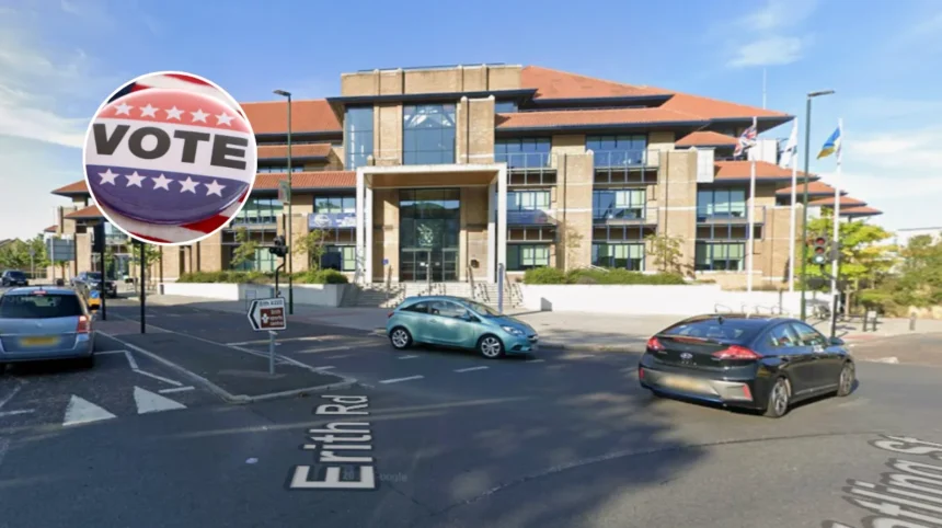
How Does Bexley Fit into the 7 May Local Elections?
Ahead of Thursday 7 May, short guides to London’s 32 boroughs, including Bexley, equip voters with essential context. Produced by experienced political desks, these profiles emphasise Bexley’s suburban stability amid broader London challenges like housing pressures.
With 256,434 residents poised to elect councillors, key battles may centre on green spaces, Thames-side development, and maintaining that “quiet” ethos.
Labour, Conservatives, and Greens have historically vied here, per past election data, with home owners favouring low taxes and greens pushing park protections. The Thamesmead estate’s evolution remains a flashpoint, blending Brutalist legacy with modern regeneration pledges.
What Challenges Might Bexley Voters Face?
Residents grapple with balancing growth and preservation. High home ownership fosters stability but sparks debates over new builds encroaching on green belts. The River Thames brings flood risks, prompting council investments in defences—issues amplified by climate concerns.
Transport links, while solid, face capacity strains from commuters. Fly-tipping in woodlands and potholes on suburban roads mirror wider London woes, potentially mobilising voters. Demographics indicate a mature electorate, prioritising health services and schools.
Why Should Voters Care About Bexley’s Profile?
This snapshot—geography, neighbourhoods, attractions, population, and demographics—equips Bexley residents for informed choices on 7 May. From Erith’s pier to Hall Place’s gardens, the borough’s assets underscore stakes in local governance. As outer London’s quiet gem, Bexley’s elections could signal trends in suburban priorities, from home ownership protections to diverse community needs.